

Description
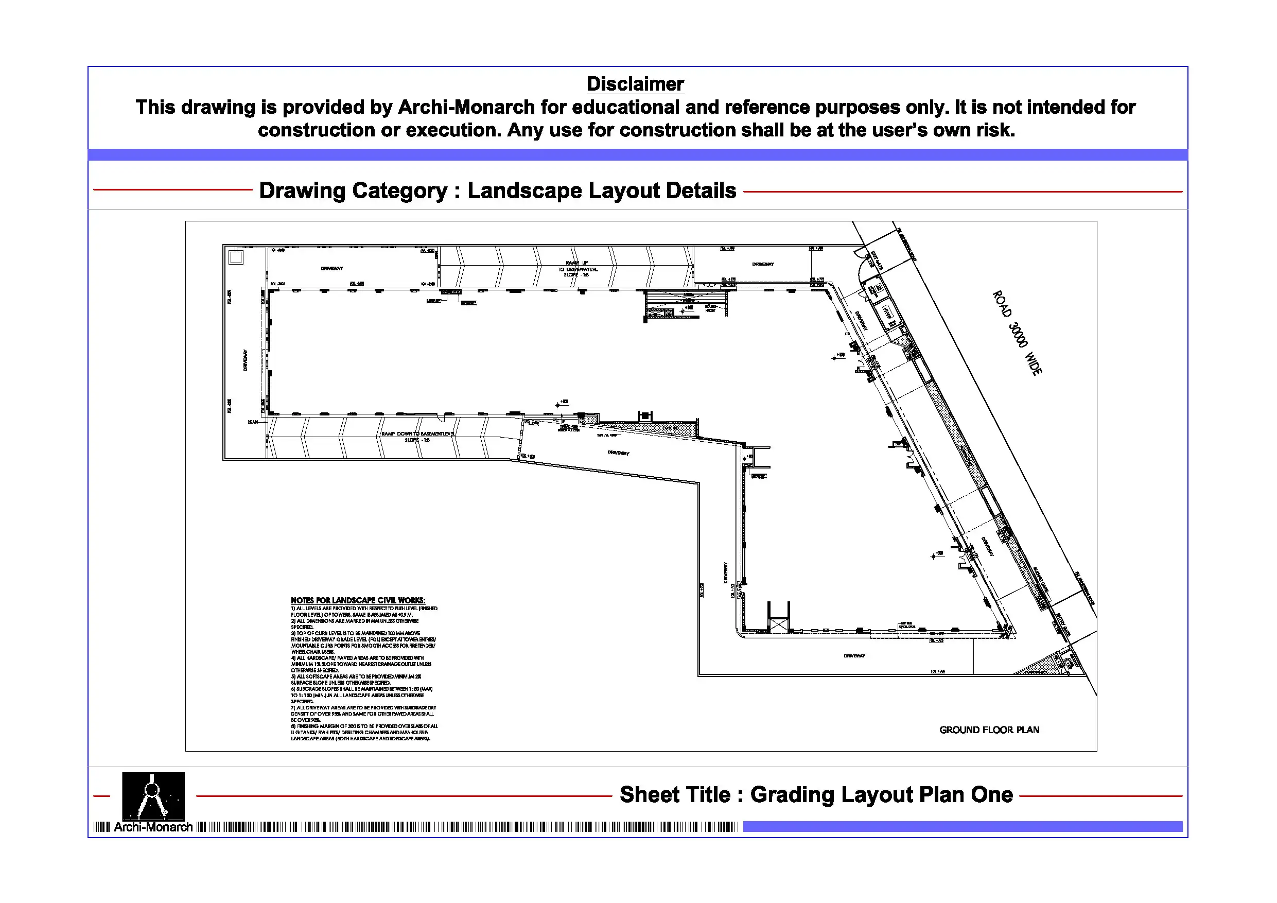
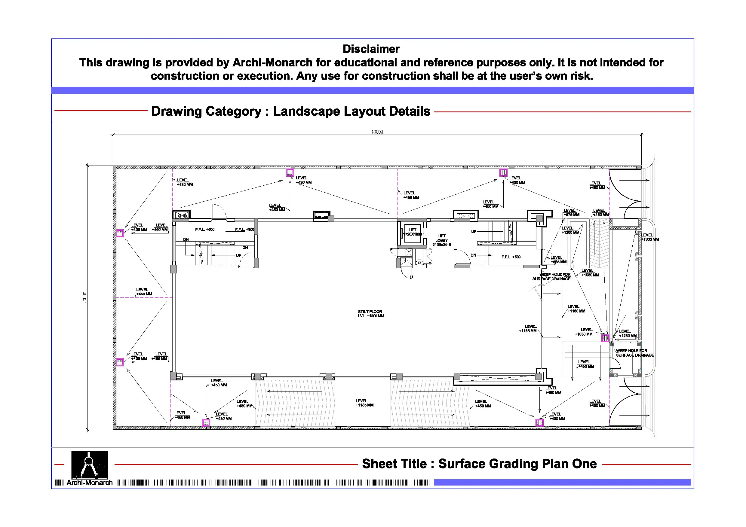
The Grading Layout Plan is a professionally prepared architectural drawing in DWG format. It is created for educational and reference purposes. Grading plans are essential in site development projects. Therefore, they define levels, slopes, and ground shaping. As a result, designers use them to ensure proper drainage and safe site conditions.
This DWG file provides a detailed grading layout plan. In addition, it suits residential developments, villas, commercial projects, and landscape designs. The drawing includes level indicators, contour information, and slope directions. Furthermore, it allows users to study terrain formation and grading techniques. Moreover, it helps define water flow, accessibility, and surface transitions. Consequently, users can develop efficient and functional site layouts.
Moreover, the drawing follows professional architectural and drafting standards. It maintains proper scale, clear linework, and organized layers. As a result, it ensures clarity and smooth workflow. Therefore, students can easily understand grading principles and site preparation methods. Similarly, professionals can use it as a reference for planning and presentation drawings. The file remains fully editable, so users can customize it as required. In addition, they can adapt it to suit different site conditions and project requirements.
The DWG format ensures compatibility with AutoCAD and similar drafting software. Thus, users can open, edit, and integrate the drawing easily. This also helps save time during design and planning stages. Furthermore, it supports coordination with architectural, structural, and service drawings.
This grading layout plan is suitable for various project types. For example, designers use it in residential layouts, commercial developments, infrastructure projects, and landscape planning. Overall, it supports both academic learning and professional workflows.
Key Highlights:
- Grading layout drawing in DWG format
- Intended for educational and reference use only
- Includes levels, contours, and slope details
- Suitable for site grading and terrain design
- Helps define drainage and ground shaping
- Fully editable and easy to customize
- Compatible with AutoCAD and similar software
- Suitable for students and professionals
This drawing is not a construction-ready document. Therefore, always consult qualified professionals before using it in real projects.







Reviews
There are no reviews yet.